Schotse Hooglanden & Speyside
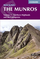 Wandelgids 2 Walking The Munros vol. 2 | Cicerone
Uitstekende wandelgids van het noorden van de Schotse Hooglanden en Cairngorms. Goed beschreven met veel praktische informatie om de route te kunnen lopen, inclusief redelijke kaarten. Volume two of Walking …
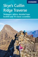 Wandelgids Scrambles in Skye's Cuillin Ridge Traverse | Cicerone
A guidebook to the Isle of Skye’s Cuillin Ridge Traverse. This 2-volume set is a comprehensive guide to planning and completing this challenging and technical 12km scramble. With a route …
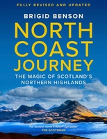 Reisgids North Coast Journey | Birlinn
Brigid writes with warmth and appreciation of communities that she knows and loves, and she inspires us to explore them' - Rick Stein 'Whenever I am talking to customers about …
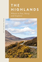 Reisgids The Highlands | Quadrille Publishing Ltd
Off the Beaten Track: The Highlands is a thoughtfully curated guide revealing the hidden joys of the Highlands, including where to eat well, explore and rest along the way. …
 Reisboek The North West Highlands | Luath Press
This book deals with the vast and lovely area lying to the north and west of Fort William, and going up through the Highlands as far as Ullapool. It is …
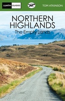 Reisboek Northern Highlands | Luath Press
The Empty Lands are that great area of northern Scotland between Ullapool and Cape Wrath, and between Bonar Bridge and John o' Groats. It is truly the Land of the …
 Reisboek The West Highlands | Luath Press
Inveraray, Oban, Kintyre, Glencoe, Loch Awe, Loch Lomond, Appin, Islay - all the glories of Argyll are described in this book. From Dumbarton to Campletown and north to Loch Etive …
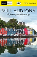 Reisboek Mull and Iona | Luath Press
The fairest of the inner Hebridean islands and Scotland's great centre of celtic Christianity. Both Mull and Iona are now easily accessible even for day visitors from the mainland, …
 Wegenkaart - landkaart Spezialkarte Schottlands North Coast 500 | TVV Touristik Verlag
FolyMaps Spezialkarte Schottlands NORTH COAST 500Robuste Karte mit vielen Infos und allen Highlights entlang dieser Ferienstraße - foliert - strapazierfähig - wetterfestDie neue FolyMaps Spezialkarte Schottlands North Coast 500 vereint …
 Wandelkaart Foinaven & Ben Hope | Harvey Maps
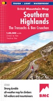 Wandelkaart Southern Highlands XT40 BMM | Harvey Maps
 Wegenkaart - landkaart Western Scotland & Islands - Schotland West & Eilanden | ITMB
Laatste reviews

Uitgebreide en zeer overzichtelijke kaart, bijna alles staat erop. Handig formaat en past mooi bij de aangeschafte gids.
★★★★★ door Toon Meesters 02 januari 2025 | Heeft dit artikel gekocht
Wil komende zomer naar dit schiereiland. Dit boek heeft ons nog enthousiaster gemaakt. Zeer informatief en volledig en toch in handig formaat
★★★★★ door Toon Meesters 02 januari 2025 | Heeft dit artikel gekocht
Goede omschrijving van producten, Duidelijke website en zoekmachine Snelle levering Zeer tevreden
★★★★★ door Paul Out 02 januari 2025 | Heeft dit artikel gekocht
Pakket is met de feestdagen snel en netjes verzonden. Is precies de landkaart die we zochten. Erg tevreden
★★★★★ door Marieke 01 januari 2025 | Heeft dit artikel gekocht
