Schotse Hooglanden & Speyside
 Wandelkaart Glen Affric | Harvey Maps
Covers a large area yet is handily compact. Pocket perfect! Detailed map for runners and walkers of the remote Glen Affric area at the magic scale of 1:40,000. …
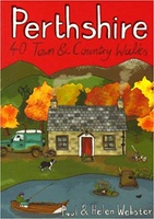 Wandelgids Perthshire : 40 Town and Country Walks | Pocket Mountains
Handige compacte wandelgids met 40 dagwandelingen. Deze gids bevat kleine kaartjes en leuke uitgebreide informatie over wat er langs de route te zien is. Goede wandelkaarten zijn echter we noodzakelijk …
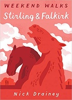 Wandelgids Stirling & Falkirk : Weekend Walks | Pocket Mountains
Handige compacte wandelgids met 40 dagwandelingen. Deze gids bevat kleine kaartjes en leuke uitgebreide informatie over wat er langs de route te zien is. Goede wandelkaarten zijn echter we noodzakelijk …
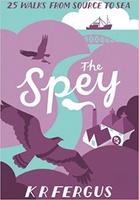 Wandelgids The Spey | Pocket Mountains
Handige compacte wandelgids met 40 dagwandelingen. Deze gids bevat kleine kaartjes en leuke uitgebreide informatie over wat er langs de route te zien is. Goede wandelkaarten zijn echter we noodzakelijk …
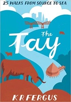 Wandelgids The Tay | Pocket Mountains
Handige compacte wandelgids met 40 dagwandelingen. Deze gids bevat kleine kaartjes en leuke uitgebreide informatie over wat er langs de route te zien is. Goede wandelkaarten zijn echter we noodzakelijk …
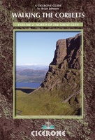 Wandelgids 2 Walking the Corbetts: Volume 2 | Cicerone
Uitstekende wandelgids, goed beschreven met veel praktische informatie om de route te kunnen lopen, inclusief redelijke kaarten. This guide describes routes up all 109 Corbetts north of the Great Glen. …
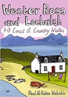 Wandelgids Wester Ross and Lochalsh | Pocket Mountains
Handige compacte wandelgids met 40 dagwandelingen. Deze gids bevat kleine kaartjes en leuke uitgebreide informatie over wat er langs de route te zien is. Goede wandelkaarten zijn echter we noodzakelijk …
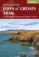 Wandelgids Walking the John o' Groats Trail | Cicerone
Guide to the John o' Groats Trail, a 233km walking route linking Inverness with John o' Groats on the northeast tip of mainland Britain. Much of the walking is coastal, …
★★★★★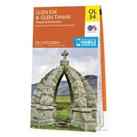 Wandelkaart - Topografische kaart OL54 OS Explorer Map Glen Esk & Glen Tanar | Ordnance Survey
Een van de beste detailkaarten die er op de wereld gemaakt worden: zeer gedetailleerd, prachtig helder kleurgebruik, veel topografische aspecten en - zeer belangrijk - allerlei toeristische en recreatieve aspecten …
 Wandelkaart The Great Trossachs Path | Harvey Maps
Een bijzonder handige kaart van dit lange-afstands-wandelpad. Op waterafstotend papier met veel details. Het enige dat je eigenlijk een beetje mist is een overzicht. Verder uitstekend en voldoende voor de …
 Wandelkaart Torridon | Harvey Maps
Een bijzonder handige kaart van dit gebied. Op waterafstotend papier met veel details. ncludes Slioch, Beinn Eighe, Liathach and Beinn Alligin. Detailed map for hillwalkers of the Torridon Hills …
 Reisverhaal De Levende Berg | Nan Shepherd
Klassiek, poëtisch meesterwerk over wandelen en leven in de bergen De Schotse bergwandelaar, onderwijzeres en dichter Nan Shepherd bracht haar leven door op zoek naar de essentie van natuur …
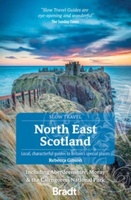 Reisgids Slow Travel North East Scotland | Bradt Travel Guides
Smitten by Scotland since childhood, travel writer Rebecca Gibson moved to Moray and started exploring her new home region on foot to produce this new title in Bradt's award-winning series …
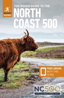 Reisgids The North Coast 500 | Rough Guides
This practical travel guide to the North Coast 500 features detailed factual travel tips and points-of-interest structured lists of all iconic must-see sights as well as some off-the-beaten-track treasures. Our …
★★★★★ Spoorwegenkaart - Wegenkaart - landkaart Scotland Far North & Islands Railway & Road | ITMB
Great Britain, by its shape, is difficult to map. The population is dense, the road network intense, and the coastline convoluted. A map of the British Isles shows only the …
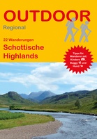 Wandelgids Schottische Highlands - 22 Wanderungen | Conrad Stein Verlag
Compacte Duitstalige wandelgids in zakformaat. Deze gids bevat kaartjes met de wandelingen erop ingetekend, hoogteprofielen, grafieken, beschrijving van de route en beknopte beschrijving van bezienswaardigheden en foto's. De wandelingen variëren …
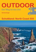 Campergids Schottland: North Coast 500 | Conrad Stein Verlag
Die North Coast 500 (NC 500) gilt als eine der schönsten Küstenstraßen weltweit. In kürzester Zeit entwickelte sich die noch neue Route durch den Norden Schottlands zu einer der beliebtesten …
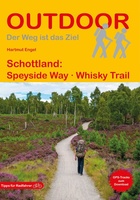 Wandelgids 43 Speyside Way - Whisky Trail (Schotland) | Conrad Stein Verlag
Wandelgids met een routebeschrijving van de Speyside weg in Schotland met veel praktische informatie en een goede beschrijving van de route. De kaarten zijn zeer leesbaar, maar wel een beetje …
 Wandelkaart Affric Kintail Way | Harvey Maps
Mooie, duidelijke kaart van de Affric Kintail way in Schotland. Geplastificeerd met veel extra informatie en uitsnedes van de route. De hele rote op 1 kaart, erg handig! The Affric …
★★★★★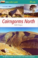 Wandelgids Cairngorms North | Mica Publishing
A detailed and superbly illustrated guidebook to walking the high tops, foothills, forests and glens of the Northern Cairngorms, one of Scotland's most popular mountain ranges, easily accessed from the …
Laatste reviews

De landkaart voldoet geheel aan mijn wensen. Ik zocht en zo klein mogelijke schaal, om onze routes te plannen. Helaas is de eerste bestelling verdwenen …
★★★★★ door Albert Huizing 04 januari 2025 | Heeft dit artikel gekocht
Prachtige foto’s die herkenbaar zijn na een bezoek aan Suriname. Interessante achtergrond informatie. Jammer dat het boek niet meer gedrukt wordt. Snel verstuurd!
★★★★★ door Neeltje 03 januari 2025 | Heeft dit artikel gekocht
Ik kocht dit boek voor pakjesavond voor mijn zwager en schoonzus, die het heerlijk vinden om regelmatig samen te wandelen, ergens in Nederland. Ook houden …
★★★★★ door Cindy de Lange-Wirds 03 januari 2025 | Heeft dit artikel gekocht
O.a. en kaart van Curaçao besteld. Prachtig van kwaliteit maar wel wat jammer dat de uitvoering wat gedateerd is. Reisgids is prima, evenals het fietsboekje …
★★★★★ door Henk van den Born 03 januari 2025 | Heeft dit artikel gekocht
