South East England
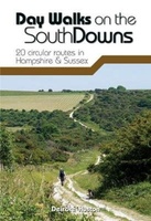 Wandelgids Day Walks n the South Downs | Vertebrate Publishing
Day Walks on the South Downs features 20 circular routes, between 6 and 14 miles (9km and 22km) in length, suitable for hill walkers of all abilities. The routes are …
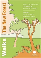 Wandelgids the New Forest | Hallewell Publications
Walks Malham & The Three Peaks is part of a popular series of A6 pocket walking guides which describe routes which are suitable for walkers of all abilities and to …
 Reisverhaal Copsford | Walter J.C. Murray
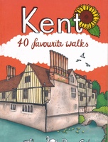 Wandelgids Kent | Pocket Mountains
Situated between the Thames Estuary and the Straits of Dover, the borderland county of Kent is home to tidal saltmarshes, high chalk downs, riverside meadows and ancient woodlands, as well …
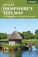 Wandelgids Hampshire's Test Way | Cicerone
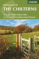 Wandelgids The Chilterns | Cicerone
 Wegenkaart - landkaart 3 England South-East / London | Kümmerly & Frey
 Wegenkaart - landkaart Engeland East Coast - Engeland Oostkust | ITMB
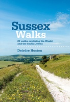 Wandelgids Sussex Walks | Vertebrate Publishing
 Wegenkaart - landkaart Londen & Engeland Zuidoost | ITMB
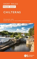 Wandelgids Chilterns | Ordnance Survey
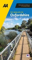 Wandelgids 50 Walks in Oxfordshire | AA Publishing
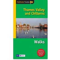 Wandelgids 025 Pathfinder Guides Thames Valley and Chilterns | Ordnance Survey
Wandelgids van een deel van Engeland, Schotland of Wales. Deze gids bevat 28 dagwandelingen, variërend van korte tochten tot pittige dagtochten. De bijbehorende kaarten zijn uitstekend: men heeft de topografische …
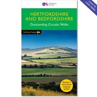 Wandelgids 054 Pathfinder Guides Hertfordshire and Bedfordshire | Ordnance Survey
Wandelgids van een deel van Engeland, Schotland of Wales. Deze gids bevat 28 dagwandelingen, variërend van korte tochten tot pittige dagtochten. De bijbehorende kaarten zijn uitstekend: men heeft de topografische …
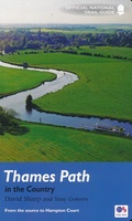 Wandelgids Thames Path | Aurum Press
Een mooie wandelgids met een goede beschrijving en hele duidelijke kaarten met ingetekende route. The official guide to the riverside path from its Gloucestershire source all the way to the …
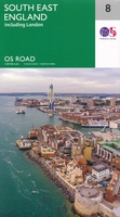 Wegenkaart - landkaart 8 OS Road Map South East England including London | Ordnance Survey
Een serie uitstekende wegenkaarten van Ordnance survey, de topografische dienst van Engeland. Alle 8 delen kennen een schaal van 1:250.000. Het kleurgebruik is uitbundig maar niet storend; integendeel, de hoogtes …
★★★★★★★★★★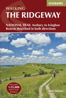 Wandelgids The Ridgeway | Cicerone
Uitstekende wandelgids van de Ridgeway, waarbij naast alle noodzakelijke informatie ook gebruik gemaakt wordt van de echte topografische kaart. Inclusief gidsje met routekaarten van 1:25000 This guidebook - which …
 Wandelgids Weekend Walks The Surrey Hills | Pocket Mountains
Although Surrey is not far from metropolitan London, it famously has more mature woodland than any other county in England and has long been renowned for its rolling hills and …
 Fietsgids Cycling in Surrey | Bradt Travel Guides
Bradt's new cycling guide to Surrey - part of a growing series designed for the saddle bag - offers 21 routes, each including comprehensive directions plus contextual exploration of history, …
 Reisgids 111 places in Places in Brighton & Lewes That You Shouldn't Miss | Emons
Brighton has transformed itself several times since the middle ages and is today together with it surroundings, culturally one of the most exciting places in Britain, boasting an impressive coast …
Laatste reviews

Kan de huidige ontstuimige ontwikkelingen wereldwijd, nu ook geografisch plaatsen en daarmee beter volgen.
★★★★★ door Leo Janssen 20 december 2024 | Heeft dit artikel gekocht
We hadden Piëmonte al eens bezocht en voor onze komende reis werd ons door kennissen deze gids aanbevolen. Inderdaad is dit een heel goede gids. …
★★★★★ door DWKdB 19 december 2024 | Heeft dit artikel gekocht
Mijn bestellingen zijn altijd goed en worden altijd op tijd geleverd. Komen afspraken goed na. Erg tevreden.
★★★★★ door Ben Wegdam 19 december 2024 | Heeft dit artikel gekocht
Zeer gedetailleerde kaart van het zuidelijke deel van het douaniers pad
★★★★★ door Marian 18 december 2024 | Heeft dit artikel gekocht


