South East England
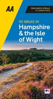 Wandelgids 50 Walks in Hampshire and the Isle of Wight | AA Publishing
Uitstekende wandelgids met een aantal dagtochten tussen de 5 en 13 kilometer. Niet heel erg lang dus, maar wel op de mooiste plekken en goed beschreven en prima kaartmateriaal. …
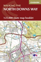 Wandelgids Walking the North Downs Way Map Booklet | Cicerone
All the mapping you need to walk the 130 mile (208km) North Downs Way National Trail between Farnham and Dover. One of the easier National Trails, it can be comfortably …
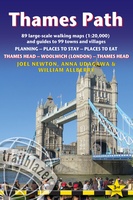 Wandelgids Thames Path | Trailblazer Guides
This book follows the Thames Path National Trail from the river's source in Gloucestershire to the Thames Barrier in London. Officially 184 miles (294km) in length (although the actual distance …
 Reisgids Eyewitness Travel England's South Coast - Zuid Engeland | Dorling Kindersley
Prachtig geillustreerde reisgids met o.a. 3D tekeningen, fraaie kaarten en geweldige foto’s. Daarnaast uitgebreide achtergrondbeschrijvingen. Echt om in de stemming te komen! Groot formaat gids. Engelstalig Taking you from Kent …
 Reisgids England | Reise Know-How Verlag
Der Reiseführer für den Süden Englands von Reise Know-How - umfassend, engagiert und aktuell: Folgen Sie den Autoren nach Südengland und erleben Sie wunderschöne Gärten und historische Herrschaftshäuser. Entdecken Sie …
 Reisgids The England Coast Path | gritstone Publishing
The England Coast Path is a new long distance path around the whole coast of England. At 2,88 miles, it is the longest coastal path in the world and provides …
 Stadsplattegrond Popout Map Brighton and Hove | Compass Maps
Let PopOut Map Brighton and Hove guide you around this wonderful city. Experience Brighton and Hove with the help of this genuinely pocket-sized, pop-up map. Small in size yet big …
 Wandelatlas Adventure Atlas South Downs Way | A-Z Map Company
AZ heeft de meest gedetailleerde wandelkaarten van de South Downs Way gebundeld in een atlasje. Daardoor is het heel handig qua formaat. De kaarten zelf zijn perfect voor het wandelen. …
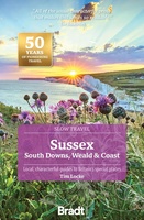 Reisgids Slow Travel Sussex - South Downs - Weald & Coast | Bradt Travel Guides
Een bijzondere serie van Bradt guides, waarin een gedeelte van Engeland of Schotland uitgebreid beschreven wordt. Met veel aandacht voor kleine details die je niet al gauw elders zult vinden. …
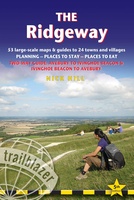 Wandelgids The Ridgeway | Trailblazer Guides
Goede wandelgids waarin met veel details alle etappes zijn beschreven. Tevens informatie over overnachtingen en openbaar vervoer. This is an all-in-one hiking guide to The Ridgeway, an 87-mile trail that …
 Reisgids Slow Travel The Chilterns & the Thames Valley | Bradt Travel Guides
Een bijzondere serie van Bradt guides, waarin een gedeelte van Engeland of Schotland uitgebreid beschreven wordt. Met veel aandacht voor kleine details die je niet al gauw elders zult vinden. …
★★★★★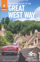 Reisgids Great West Way | Rough Guides
Discover the Great West Way with this comprehensive, entertaining, 'tell it like it is' Rough Guide, packed with comprehensive practical information and our experts' honest and independent recommendations. Whether you …
 Wandelgids Walking in the Thames Valley | Cicerone
Walking in the Thames Valley offers 25 challenging circular walks around the River Thames and River Kennet in the south of England, taking in the Southern Chilterns, the Berkshire and …
 Reisgids Marco Polo NL Zuid England | 62Damrak
Marco Polo reisgids voor Zuid-Engeland. Handig pocketformaat, boordevol informatie, met uitneembare kaart achter in het boek en atlas-pagina’s. Met Insider Tips om de échte stad/streek te ontdekken en de TOP …
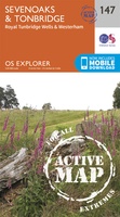 Wandelkaart - Topografische kaart 147 OS Explorer Map | Active Sevenoaks / Tonbridge | Ordnance Survey
Met zijn 4cm voor 1 km (2 ½ cm voor 1 mijl) schaal, is de OS Explorer kaartenserie de ideale en meest gedetailleerde kaartenreeks voor mensen die graag outdoor-activiteiten zoals …
 Wandelgids 15 Short Walks Winchester | Cicerone
Malcolm Leatherdale has chosen 15 of the best short walks around Winchester and central Hampshire for you to explore. Our guide comes with easy-to-read Ordnance Survey maps and clear route …
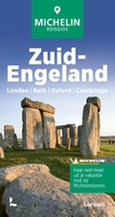 Reisgids Michelin groene gids Zuid-Engeland | Lannoo
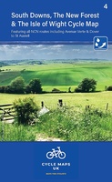 Fietskaart 04 Cycle Maps UK South Downs and The New Forest | Cordee
Een nieuwe fietskaarten serie van Groot-Brittannië. Gedrukt op scheur- en watervast papier en mooi handzaam klein formaat. Deze kaarten zijn met name heel goed om de Lange Afstands Fietsroutes (LF) …
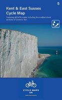 Fietskaart 05 Cycle Maps UK Kent, The High Weald and Kent Downs | Cordee
Een nieuwe fietskaarten serie van Groot-Brittannië. Gedrukt op scheur- en watervast papier en mooi handzaam klein formaat. Deze kaarten zijn met name heel goed om de Lange Afstands Fietsroutes (LF) …
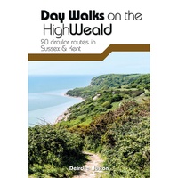 Wandelgids Day Walks on the High Weald | Vertebrate Publishing
Day Walks on the High Weald features 20 circular routes between 6.5 and 13.9 miles (10.5km and 22.4km) in length, spread across this Area of Outstanding Natural Beauty in the …
Laatste reviews

Kan de huidige ontstuimige ontwikkelingen wereldwijd, nu ook geografisch plaatsen en daarmee beter volgen.
★★★★★ door Leo Janssen 20 december 2024 | Heeft dit artikel gekocht
We hadden Piëmonte al eens bezocht en voor onze komende reis werd ons door kennissen deze gids aanbevolen. Inderdaad is dit een heel goede gids. …
★★★★★ door DWKdB 19 december 2024 | Heeft dit artikel gekocht
Mijn bestellingen zijn altijd goed en worden altijd op tijd geleverd. Komen afspraken goed na. Erg tevreden.
★★★★★ door Ben Wegdam 19 december 2024 | Heeft dit artikel gekocht
Zeer gedetailleerde kaart van het zuidelijke deel van het douaniers pad
★★★★★ door Marian 18 december 2024 | Heeft dit artikel gekocht


