
Philip's Maps
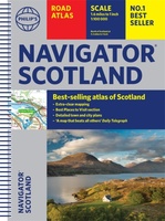 Wegenatlas Navigator Scotland | A4-Formaat | Ringand | Philip's Maps
Duidelijke en gedetailleerde atlas van Schotland met enkele stadsplattegronden en register. Zuid Schotland is van schaal 1:100.000 en het noorden met schaal 1:200.000 Philip's Navigator Scotland is part of …
★★★★★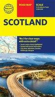 Wegenkaart - landkaart Philip's Scotland Road Map | Philip's Maps
'THE CLEAREST AND MOST DETAILED MAPS OF EUROPE' David Williams MBE, former CEO Gem Motoring Assist The bestselling fold-out road map for navigating in Scotland has been updated for all …
★★★★★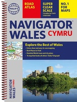 Wegenatlas Wales Navigator | A4 | Ringband | Philip's Maps
Ideaal voor fietsers! Explore the many attractions of Wales with this easy-to-use road atlas showing all the top spots. Easy-to-read mapping, superb extra detail, and a great lie-flat format make …
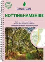 Wegenatlas Local Explorer Street Atlas Nottinghamshire | Philip's Maps
Philip's created this new series for walkers, cyclists and local explorers at a scale that provides greener options to uncover all the nature and hidden gems in your local area. …
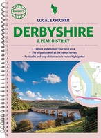 Wegenatlas Local Explorer Street Atlas Derbyshire and the Peak District | Philip's Maps
Who hasn't explored and enjoyed their surrounding area in recent years and come to appreciate what is on our respective doorsteps? Philip's have created this new series for walkers, cyclists …
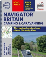 Wegenatlas Navigator Camping and Caravanning – Atlas of Britain | Philip's Maps
THE MUST-HAVE ATLAS OF BRITAIN FOR CAMPING, CARAVANNING AND MOTORHOMES'A map that beats all others' - The Daily Telegraph'Scale, accuracy and clarity are without parallel' - Driving Magazine'No. 1 in …
★★★★★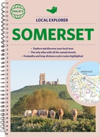 Wegenatlas Local Explorer Street Atlas Somerset | Philip's Maps
Prachtige wegenatlas van Somerset voor fietsers en wandelaars op een super gedetaileerde schaal! Met Lange afstandsfietsroutes en wandelroutes. Who hasn't explored and enjoyed their surrounding area recently and come …
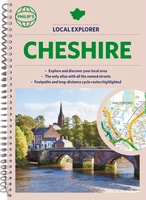 Wegenatlas Local Explorer Street Atlas Cheshire | Philip's Maps
Who hasn't explored and enjoyed their surrounding area recently and come to appreciate what is on our respective doorsteps? Philip's have created this new series for walkers, cyclists and local …
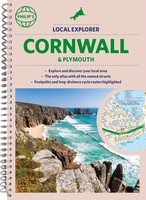 Wegenatlas Local Explorer Street Atlas Cornwall and Plymouth | Philip's Maps
Prachtige wegenatlas van Cornwall voor fietsers en wandelaars op een super gedetaileerde schaal! Met Lange afstandsfietsroutes en wandelroutes. Who hasn't explored and enjoyed their surrounding area recently and come …
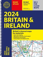 Wegenatlas Road Atlas Britain and Ireland 2024 | Philip's Maps
Let op! Ierland en een gedeelte van Schotland hebben een andere schaal dan de rest van de atlas. PHILIP'S - Market leaders and No. 1 in the UK for …
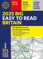
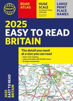
★★★★★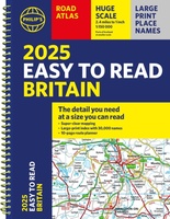 Wegenatlas Philip's Easy to Read Road Atlas of Britain 2025 | A4-Formaat | Ringband | Philip's Maps
"The detail you need at a size you can read". The latest 2025 Philip's Easy to Read Road Atlas of Britain from the best-selling Road Atlas range has over 350 …
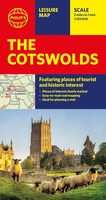 Wegenkaart - landkaart The Cotswolds | Philip's Maps
A new edition of this double-sided map of the Cotswolds clearly featuring places of tourist and historic interest in an easy-to-read style of mapping, alongside six handy town centre plans. …
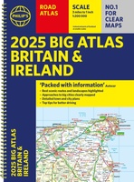 Wegenatlas Big Atlas Britain & Ireland 2024 A3-Formaat | Philip's Maps
Goede gedetailleerde wegenatlas van Groot-Brittannië, schaal 1:200.000 met een overzichtskaart van Ierland, schaal 1:1.000.000. Groot formaat, A3, en in ringband. 'Good balance between detail and clarity with excellent town maps' …
★★★★★ Wegenatlas Philip's Easy to Read Road Atlas of Britain 2025 | A3-Formaat | Paperback | Philip's Maps
With the detail you need at a size you can read, the latest edition of 2025 Philip's Big Easy to Read Road Atlas of Britain is super-clear, super-sized and bang …
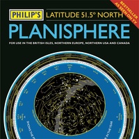 Sterrenkaart - Planisfeer Planisphere (Latitude 51. 5 North) | Philip's Maps
The first thing that every stargazer needs - an hour-by-hour and night-by-night map of the stars they'll see · A really useful bit of kit...a map of the night sky …
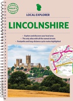 Wegenatlas Local Explorer Street Atlas Lincolnshire | Philip's Maps
Who hasn't explored and enjoyed their surrounding area recently and come to appreciate what is on our respective doorsteps? Philip's have created this new series for walkers, cyclists and local …
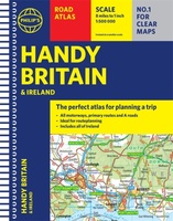 Wegenatlas Handy Road Atlas Britain A5-Formaat | Philip's Maps
"The perfect atlas for planning a trip anywhere in the UK and Ireland"The essential handy road atlas for planning a trip in Britain and Ireland. Keep it in the glove …
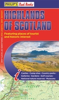 Wegenkaart - landkaart Highlands of Scotland | Philip's Maps
Zeer duidelijke wegenkaart van het noorden van Schotland. This leisure and tourist map of the Highlands of Scotland gives detailed coverage of the area's road network at a scale of …
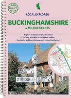 Wegenatlas Local Explorer Street Atlas Buckinghamshire and Milton Keynes | Philip's Maps
Philip's created this new series for walkers, cyclists and local explorers at a scale that provides greener options to uncover all the nature and hidden gems in your local area. …
 Wegenatlas Easy to Read Road Atlas Britain 2025 | Philip's Maps
"The detail you need at a size you can read". The latest 2025 Philip's Easy to Read Road Atlas of Britain from the best-selling Road Atlas range has over 350 …
★★★★★
Laatste reviews

Mooie landkaart en snel bezorgd
★★★★★ door Rene van Paasen 16 december 2024 | Heeft dit artikel gekocht
Als er één ding is waardoor de Blue Guides bekendheid genieten, dan is het wel de vele aandacht voor cultuur. Zo ook deze. Ik krijg …
★★★★★ door Christine Grit 13 december 2024 | Heeft dit artikel gekocht
De coördinaten op de kaart zijn onbruikbaar. Je kan deze niet gebruiken met een kaarthoekmeter. Er is geen getekende grid voor de coördinaten. Kaart is …
★★★★★ door Robin 13 december 2024 | Heeft dit artikel gekocht
De coördinaten op de kaart zijn onbruikbaar. Je kan deze niet gebruiken met een kaarthoekmeter. Er is geen getekende grid voor de coördinaten. Kaart is …
★★★★★ door Robin 13 december 2024 | Heeft dit artikel gekocht