Mallorca
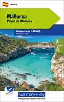 Wandelkaart - Fietskaart Mallorca | Kümmerly & Frey
Outdoor map for hiking, or for cycling. This map indicates all the possibilities for your hobbies. Digital mapping of high quality printed on waterproof and indich paper. Contour line. …
★★★★★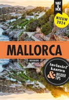 Reisgids Wat & Hoe Reisgids Mallorca | Kosmos Uitgevers
Wat & Hoe Reisgids Mallorca bevat insider tips, ‘must see’ plekken, en uitklapkaarten om het meeste uit je bezoek aan Mallorca te halen. Met de Top 10-selectie, duidelijke wandelkaarten en …
★★★★★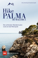 Wandelgids Hike Palma de Mallorca | Delius Klasing Verlag
Aktivurlaub in Wanderschuhen Palma de Mallorca – kristallklares Wasser, Bergkulisse, mildes Klima und eine lebhafte Stadt. Palma lädt ein zu einem abwechslungsreichen Urlaub zwischen Städtetrip und Naturparadies. Und genau …
 Reisgids 111 places in Places in Mallorca That You Shouldn't Miss | Emons
The ultimate insider's guide to Mallorca Features interesting and unusual places not found in traditional travel guides Part of the international 111 Places/Shops series with over 650 titles and 3.8 …
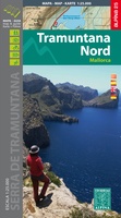 Wandelkaart Tramuntana Norte | Editorial Alpina
•Hiking map and guidebook •Scale 1:25.000 •Equidistance contours: 10 m distance •Master contours: at 50 m •Shady relief •Compatible with GPS •Marked routes •Land use symbolized at three levels •Guidebook …
★★★★★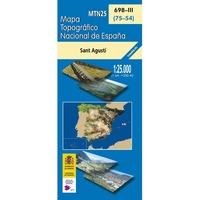 Topografische kaart 698-III Sant Agustí (Mallorca) | CNIG - Instituto Geográfico Nacional
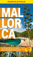 Reisgids Marco Polo ENG Mallorca | Marco Polo
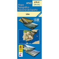 Topografische kaart 670-II Sóller (Mallorca) | CNIG - Instituto Geográfico Nacional
 Wegenkaart - landkaart Mallorca, Ibiza & Menorca | ITMB
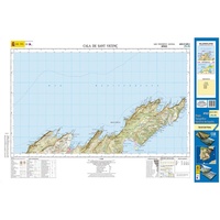 Topografische kaart 644-II/645-I Cala de Sant Vicenç (Mallorca) | CNIG - Instituto Geográfico Nacional1
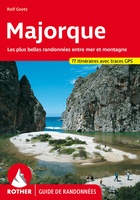 Wandelgids Majorque - Mallorca (Franstalig) | Rother Bergverlag
Uitstekende wandelgids met een groot aantal dagtochten in dal en hooggebergte. Met praktische informatie en beperkt kaartmateriaal! Wandelingen in verschillende zwaarte weergegeven in rood/blauw/zwart. Let op! Franstalig
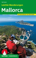 Wandelgids Mallorca Leichte Wanderungen | Rother Bergverlag
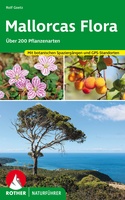 Natuurgids - Wandelgids Mallorcas Flora - 200 Pflanzenarten | Rother Bergverlag
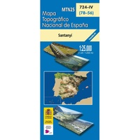 Topografische kaart 724-IV Santanyí (Mallorca) | CNIG - Instituto Geográfico Nacional
 Topografische kaart 723-II Badia Gran (Mallorca) | CNIG - Instituto Geográfico Nacional
 Topografische kaart 723-IV Cap Blanc (Mallorca) | CNIG - Instituto Geográfico Nacional
 Topografische kaart 723-I Illa del Toro y Cap de Cala Figuera (Mallorca) | CNIG - Instituto Geográfico Nacional
 Reisverhaal Dwars door de Middellandse Zee | Hauben, Arnout
Het sprankelende, avontuurlijke vervolg op de bestseller Rond de Noordzee. Vanaf juni 2021 te zien bij de VPRO. Een tocht langs onder andere Gibraltar, de Balearen, Corsica, Sardinië en de …
Laatste reviews

Mooie landkaart en snel bezorgd
★★★★★ door Rene van Paasen 16 december 2024 | Heeft dit artikel gekocht
Als er één ding is waardoor de Blue Guides bekendheid genieten, dan is het wel de vele aandacht voor cultuur. Zo ook deze. Ik krijg …
★★★★★ door Christine Grit 13 december 2024 | Heeft dit artikel gekocht
De coördinaten op de kaart zijn onbruikbaar. Je kan deze niet gebruiken met een kaarthoekmeter. Er is geen getekende grid voor de coördinaten. Kaart is …
★★★★★ door Robin 13 december 2024 | Heeft dit artikel gekocht
De coördinaten op de kaart zijn onbruikbaar. Je kan deze niet gebruiken met een kaarthoekmeter. Er is geen getekende grid voor de coördinaten. Kaart is …
★★★★★ door Robin 13 december 2024 | Heeft dit artikel gekocht


