
Wandelgidsen - Lowlands | Schotse Laaglanden en grenzen
 Wandelgids Fife Coastal Path | Rucksack Readers
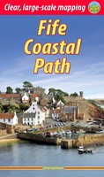
The Fife Coastal Path runs around the coastline of eastern Scotland for 117 miles (187 km) from Kincardine on the Forth to Newburgh on the Tay. Starting west of the …
 Wandelgids Forth to Farne Way | Rucksack Readers
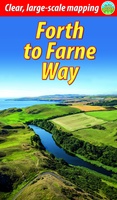
This inspiring 70-mile pilgrim route starts from North Berwick on the Firth of Forth near Edinburgh, and continues via Whitekirk's 12th century church to Dunbar. It follows the North Sea …
 Wandelgids Loch Lomond & Cowal Way | Rucksack Readers
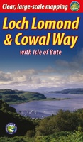
"Lavishly illustrated guidebook with route map plus practical information" - Scots Magazine The Loch Lomond & Cowal Way is one of Scotland's Great Trails. It runs for 57 miles (91 …
 Wandelgids Moray Coast Trail | Rucksack Readers
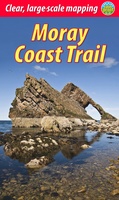
The Mary Queen of Scots Way stretches across central Scotland from coast to coast, linking many places associated with Mary Queen of Scots. It runs for 107 miles (172 km) …
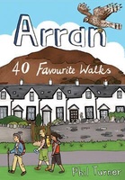 Wandelgids Arran | Pocket Mountains
Handige compacte wandelgids met 40 dagwandelingen. Deze gids bevat kleine kaartjes en leuke uitgebreide informatie over wat er langs de route te zien is. Goede wandelkaarten zijn echter wel aan …
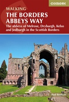 Wandelgids The Borders Abbeys Ways | Cicerone
Uitstekende wandelgids van de Borders Abbeys Way, waarbij naast alle noodzakelijke informatie ook gebruik gemaakt wordt van de echte topografische kaart. Guidebook to the Borders Abbeys Way, a 68 mile …
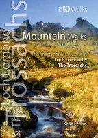 Wandelgids Mountain Walks in Loch Lomond and the Trossachs | Northern Eye Books
One of four books in the popular Loch Lomond and The Trossachs: Top 10 Walks series. Handy, pocket-sized, full colour walking guides written by experts. The perfect impulse buy. The …
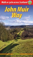 Wandelgids John Muir Way | Rucksack Readers
The John Muir Way runs for 134 miles (215 km) coast-to-coast across central Scotland, from Helensburgh on the Clyde to Dunbar on the North Sea. The route is as suitable …
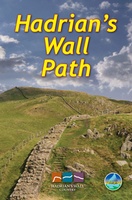 Wandelgids Hadrian's Wall path | Rucksack Readers
Uitgevoerd in de vorm van een klapper, met ringband geeft deze gids een goede beschrijving van de lange afstands route. De kaarten zijn schetsmatig maar wel duidelijk. Hadrian's Wall …
★★★★★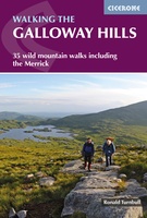 Wandelgids Walking the Galloway Hills | Cicerone
Uitstekende wandelgids van galloway! This guide covers 35 day walks and one long-distance route in the wild and remote hills of Galloway. Although there are some shorter and easier …
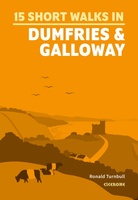 Wandelgids 15 Short Walks Dumfries and Galloway | Cicerone
Ronald Turnbull has chosen 15 of the best short walks around Dumfries and Galloway for you to explore. Our guide comes with easy-to-read Ordnance Survey maps and clear route descriptions, …
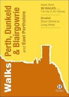 Wandelgids Perth, Dunkeld & Blairgowrie | Hallewell Publications
Walks Perth, Dunkeld & Blairgowrie (previously published as Walks East Perthshire) has been completely rewalked and revised. The guide covers the eastern part of the county of Perthshire, with a …
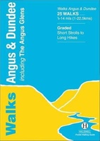 Wandelgids Angus | Hallewell Publications
This guide covers the old county of Angus: from the cliffs and beaches of the coast, through the wide farmland of Strathmore to the fine hill paths of the Angus …
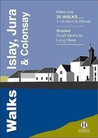 Wandelgids Islay, Jura & Colonsay | Hallewell Publications
Walks Islay, Jura & Colonsay features walks on the three inner Hebridean islands. Each island has it's own distinct character and the 26 walks featured give a good feel for …
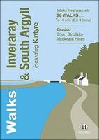 Wandelgids Inveraray & South Argyll : Including Kintyre | Hallewell Publications
Rewalked and updated in 2022, 'Walks Inveraray & South Argyll including Kintyre' covers the stretch of Scotland's west coast from Ardfern in the north to the Mull of Kintyre in …
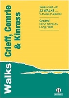 Wandelgids Crieff, Comrie & Kinross | Hallewell Publications
Walks Crieff, Comrie & Kinross includes walks in the south Perthshire hills, around Loch Earn and Loch Tay, and the Ochils, as well as the path network around Crieff. The …
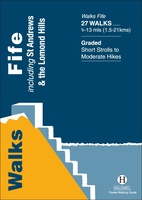 Wandelgids Fife | Hallewell Publications
Rewalked and updated in 2021, Walks Fife including St Andrews & the Lomond Hills covers the county of Fife, which lies between the estuaries of the Rivers Forth and Tay. …
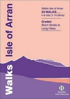 Wandelgids Isle of Arran | Hallewell Publications
Rewalked and updated in 2015, Walks Isle of Arran features 24 walks on the mountainous island of Arran in the Firth of Clyde. Known as `Scotland in miniature', the island …
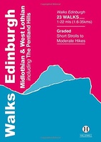 Wandelgids Edinburgh, Midlothian and West Lothian | Hallewell Publications
Rewalked and updated in 2021, Walks Edinburgh, Midlothian & West Lothian including The Pentland Hills features walks in and around Scotland's capital city. The guide covers the city of Edinburgh, …
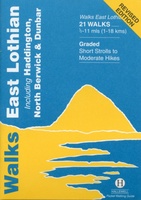 Wandelgids East Lothian | Hallewell Publications
Rewalked and updated in 2017, Walks East Lothian including Haddington, North Berwick & Dunbar covers the county of East Lothian, which lies to the east of Edinburgh. Walks include a …
Laatste reviews

Kan de huidige ontstuimige ontwikkelingen wereldwijd, nu ook geografisch plaatsen en daarmee beter volgen.
★★★★★ door Leo Janssen 20 december 2024 | Heeft dit artikel gekocht
We hadden Piëmonte al eens bezocht en voor onze komende reis werd ons door kennissen deze gids aanbevolen. Inderdaad is dit een heel goede gids. …
★★★★★ door DWKdB 19 december 2024 | Heeft dit artikel gekocht
Mijn bestellingen zijn altijd goed en worden altijd op tijd geleverd. Komen afspraken goed na. Erg tevreden.
★★★★★ door Ben Wegdam 19 december 2024 | Heeft dit artikel gekocht
Zeer gedetailleerde kaart van het zuidelijke deel van het douaniers pad
★★★★★ door Marian 18 december 2024 | Heeft dit artikel gekocht