Ierland
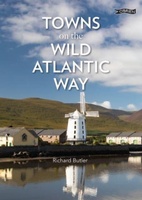 Reisgids Towns on the Wild Atlantic Way | O'Brien Press
From the drama of Donegal to the beauty of west Cork, the 2,500km Wild Atlantic Way is one of the world's greatest tourist routes. The unique towns along the way …
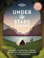 Reisinspiratieboek Under the Stars - Europe | Lonely Planet
From wild camping to curling up in a cabin, discover 200 amazing places to sleep under the stars in Europe. Lonely Planet's experts have scoured the continent to recommend the …
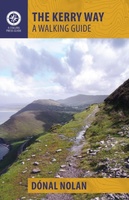 Wandelgids The Kerry Way | The Collins Press
Handzame kleine gids van de Kerry Way. Vereenvoudigd kaartmateriaal maakt het makkelijk om te gebruiken, goede tekst. The Kerry Way is Ireland's longest marked trail and one of the most …
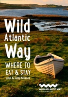 Reisgids Wild Atlantic Way - Where to eat and stay | Collins
Een handzame gids met de beste plekken om te eten en overnachten langs de Wild Atlantic Way in Ierland. A guide to the best places to enjoy the local Irish …
★★★★★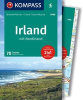 Wandelgids 5988 Wanderführer Irland und Nordirland - Ierland en Noord Ierland | Kompass
Goede Duitstalige wandelgids met heldere beschrijvingen van de wandeltochten. Met hoogteprofiel, kaartje en de benodigde praktische informatie als bijvoorbeeld de startlocatie met GPS coordinaten. De wandelingen zijn ingedeeld in zwaarte …
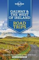 Reisgids Road Trips Galway & the West of Ireland | Lonely Planet
Handige kleine reisgids over dit specifieke deel waarbij je allerlei suggesties krijgt om naast en bij de hoofdroute leuke dingen te doen. Goede kaartjes, veel praktische informatie. Whether exploring …
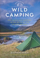 Campinggids Wild Camping UK and Ireland | Conway
Als je echt op zoek bent naar bijzondere kampeerplekken in Engeland, Schotland en Ierland dan is dit je boek: het beschijft de meest afgelegen plekkenin het wild waar je je …
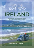 Campergids Take the Slow Road: Ireland - Ierland | Bloomsbury
The ultimate guide to the very best scenic and fun routes for camper vans and motorhomes around the valleys, mountains and coastlines of beautiful Ireland. Forget hurrying. Forget putting your …
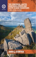 Wandelgids The Comeragh, Galtee, Knockmealdown & Slieve Bloom Mountains | The Collins Press
The Comeragh, Galtee, Knockmealdown & Slieve Bloom Mountains : A Walking Guide John G. O’Dwyer’s comprehensive guide to the best walks in Tipperary and Waterford has now been updated and …
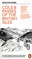 Fietsgids Cols and Passes of the British Isles
A col is the lowest point on the saddle between two mountains. Graham Robb has spent years uncovering and cataloguing the 2,002 cols and 105 passes scattered across the British …
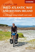 Fietsgids The Wild Atlantic Way and Western Ireland - Ierland | Cicerone
Uitstekende fietsgids van Cicerone over de westkust van Ierland. De routes zijn goed beschreven, met veel praktische informatie. Kaartmateriaal is redelijk, om echt op te fietsen wat summier. Boasting deserted …
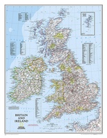 Wandkaart 02022 Britain and Ireland - Groot Brittannië en Ierland, 60 x 76 cm | National Geographic
This classic-style map of England and Wales shows political boundaries, major highways and roads, cities and towns, airports, and other geographic details. Thousands of place-names and exact borders are carefully …
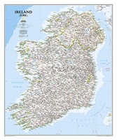 Wandkaart 20427 Ireland – Ierland, 76 x 91 cm | National Geographic
National Geographic Maps' new Ireland wall map is one of the most authoritative maps yet published of the Emerald Isle. Of the nearly 1,000 place-names shown on this map, all …
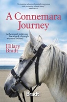 Reisverhaal A Connemara Journey | Hilary Bradt
Hilary Bradt's classic account of a journey through Ireland on horseback in the 1980s published for the first time in a single volume.In 1984, Hilary Bradt achieved an ambition from …
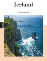 Reisgids PassePartout Ierland | Edicola
Het inspiratieboek “Ierland – de Wild Atlantic Way” laat de schoonheid van de Ierse westkust zien, die van oudsher een zeer populaire vakantiebestemming is. De term ‘Wild Atlantic Way’ is …
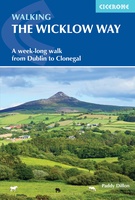 Wandelgids Walking the Wicklow Way | Cicerone
The Wicklow Way was the first long-distance walking trail to be established in Ireland. Coming in at 130km (81 miles), the route traverses the county of Wicklow, from Marlay Park …
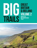 Wandelgids Big Trails Great Britain & Ireland Volume 2 | Vertebrate Publishing
Big Trails: Great Britain and Ireland Volume 2 is the second volume of this inspirational guide to the most iconic long-distance trails in England, Scotland, Wales, Ireland and the Channel …
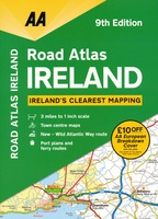 Wegenatlas Road Atlas Ireland - Ierland | AA Publishing
Handige wegenatlas van Ierland en Noord-Ierland, schaal 1:200.000. Met 10 stadsplattegronden: Belfast, Cork, Londonderry, Dublin, Galway, Killarney, Kilkenny, Limerick, Sligo and Waterford. Created from brand new mapping data, this atlas …
★★★★★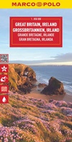 Wegenkaart - landkaart Great Britain & Ireland - Groot Brittannië & Ierland | Marco Polo
Duidelijke wegenkaart van Marco Polo: alle wegen, zowel de verharde als belangrijke onverharde wegen zijn weergegeven. Mooie toeristisch interessante wegen die de moeite waard zijn, zijn groen gearceerd. Veel toeristische …
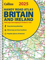 Wegenatlas 2025 Collins Handy Road Atlas Britain and Ireland | Collins
Handzame A5 wegenatlas van Engeland, Wales, Schotland en Ierland met register en stadsplattegronden This easy-to-use, handy A5 sized road atlas with popular lie-flat spiral binding features extremely clear route planning …
★★★★★
Laatste reviews

Klein en handig compact boekje, perfect om mee te nemen voor op vakantie!!!👍🏼
★★★★★ door Mathias 11 december 2024 | Heeft dit artikel gekocht
Duidelijk, makkelijk in gebruik en mijn man (het was een kadootje voor hem)stippelt allerlei interessante tochtjes uit met jullie fijne kaarten!
★★★★★ door Joke Erkens 10 december 2024 | Heeft dit artikel gekocht
Met het arriveren van deze prachtige en overzichtelijke wegenkaart is de voorpret van het plannen van de vakantie begonnen. Ik vind het heerlijk om gebogen …
★★★★★ door Carl 10 december 2024 | Heeft dit artikel gekocht
prima kaart - goede schaal om op te lopen - veel toeristische info
★★★★★ door herman de swart 09 december 2024 | Heeft dit artikel gekocht
