
Kaarten - Wales
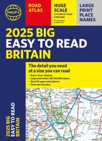 Wegenatlas Philip's Easy to Read Road Atlas of Britain 2025 | A3-Formaat | Paperback | Philip's Maps
With the detail you need at a size you can read, the latest edition of 2025 Philip's Big Easy to Read Road Atlas of Britain is super-clear, super-sized and bang …
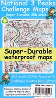 Wandelkaart National 3 Peaks Challenge Map | Discovery Walking Guides
Goede scheur- en watervaste wandelkaart. National 3 Peaks Challenge Maps. Ben Nevis, Scafell Pike and Snowdon at 20k scale. Waterproof, tearproof and 100% recyclable 820mm by 420mm double sided map …
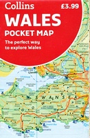 Wegenkaart - landkaart Pocket Map Wales | Collins
Kleine handzame kaart van Wales Handy little full colour map of Wales. Excellent value and very detailed for its size. Key features of this map include: • Clear mapping …
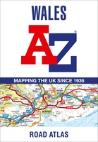 Wegenatlas Wales road atlas | A-Z Map Company
Handige wegenatlas op A5 formaat, makkelijk te gebruiken met grote letters en heel goed leesbaar. De schaal is behoorlijk gedetaileerd en zeker ook voor fietsers goed te gebruiken. Met veel …
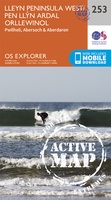 Wandelkaart - Topografische kaart 253 OS Explorer Map | Active Lleyn Penionsular / pen Llyn Ardal Orllewinol | Ordnance Survey
Met zijn 4cm voor 1 km (2 ½ cm voor 1 mijl) schaal, is de OS Explorer kaartenserie de ideale en meest gedetailleerde kaartenreeks voor mensen die graag outdoor-activiteiten zoals …
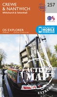 Wandelkaart - Topografische kaart 257 OS Explorer Map | Active Crewe / Nantwich / Whitchurch / Tattenhall | Ordnance Survey
Met zijn 4cm voor 1 km (2 ½ cm voor 1 mijl) schaal, is de OS Explorer kaartenserie de ideale en meest gedetailleerde kaartenreeks voor mensen die graag outdoor-activiteiten zoals …
 Wegenkaart - landkaart Great Britain & Ireland - Groot Brittannië & Ierland | Marco Polo
Duidelijke wegenkaart van Marco Polo: alle wegen, zowel de verharde als belangrijke onverharde wegen zijn weergegeven. Mooie toeristisch interessante wegen die de moeite waard zijn, zijn groen gearceerd. Veel toeristische …
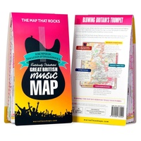 Wegenkaart - landkaart Great British Music Map | Strumpshaw, Tincleton & Giggleswick's Marvellous Maps
When it comes to music, Britain calls the tune on the world stage, playing second fiddle to nobody. This new and unique fold-out map celebrates Britain’s globe-straddling musical prowess, featuring …
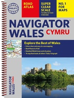 Wegenatlas Wales Navigator | A4 | Ringband | Philip's Maps
Ideaal voor fietsers! Explore the many attractions of Wales with this easy-to-use road atlas showing all the top spots. Easy-to-read mapping, superb extra detail, and a great lie-flat format make …
 Wandelkaart Snowdonia Noord | Harvey Maps★★★★★
 Wandelkaart Wales Coast Path 2 | Harvey Maps
 Wandelkaart Wales Coast Path 3 | Harvey Maps
 Wandelkaart Wales Coast Path 1 | Harvey Maps
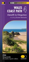 Wandelkaart Wales Coast Path 4 | Harvey Maps
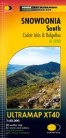 Wandelkaart Snowdonia Zuid | Harvey Maps
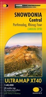 Wandelkaart Snowdonia Central | Harvey Maps
 Wegenkaart - landkaart 6 OS Road Map Wales & West Midlands | Ordnance Survey
Een serie uitstekende wegenkaarten van Ordnance survey, de topografische dienst van Engeland. Alle 8 delen kennen een schaal van 1:250.000. Het kleurgebruik is uitbundig maar niet storend; integendeel, de hoogtes …
★★★★★ Wegenkaart - landkaart 7 OS Road Map South West England & South Wales | Ordnance Survey
Een serie uitstekende wegenkaarten van Ordnance survey, de topografische dienst van Engeland. Alle 8 delen kennen een schaal van 1:250.000. Het kleurgebruik is uitbundig maar niet storend; integendeel, de hoogtes …
★★★★★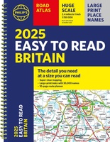 Wegenatlas Philip's Easy to Read Road Atlas of Britain 2025 | A4-Formaat | Ringband | Philip's Maps
"The detail you need at a size you can read". The latest 2025 Philip's Easy to Read Road Atlas of Britain from the best-selling Road Atlas range has over 350 …
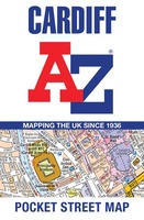 Stadsplattegrond Pocket Street Map Cardiff | A-Z Map Company
Navigate your way around Leeds with detailed street maps from A-Z This up-to-date, folded A-Z street map includes all of the 2,100 streets in and around Blackpool. As well as …
Laatste reviews

Kan de huidige ontstuimige ontwikkelingen wereldwijd, nu ook geografisch plaatsen en daarmee beter volgen.
★★★★★ door Leo Janssen 20 december 2024 | Heeft dit artikel gekocht
We hadden Piëmonte al eens bezocht en voor onze komende reis werd ons door kennissen deze gids aanbevolen. Inderdaad is dit een heel goede gids. …
★★★★★ door DWKdB 19 december 2024 | Heeft dit artikel gekocht
Mijn bestellingen zijn altijd goed en worden altijd op tijd geleverd. Komen afspraken goed na. Erg tevreden.
★★★★★ door Ben Wegdam 19 december 2024 | Heeft dit artikel gekocht
Zeer gedetailleerde kaart van het zuidelijke deel van het douaniers pad
★★★★★ door Marian 18 december 2024 | Heeft dit artikel gekocht