♦ Pembrokeshire Coast National Park
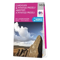 Wandelkaart - Topografische kaart 145 Landranger Cardigan & Mynydd Preseli - Wales | Ordnance Survey
Zeer goede detailkaart met topografische ondergrond. Kleurgebruik is goed over nagedacht: bijzonder goed leesbaar en helder kaartbeeld. Hierop zijn toeristische symbolen van bezienswaardigheden ingetekend, daarnaast staan bijvoorbeeld campings en jeugdherbergen …
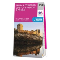 Wandelkaart - Topografische kaart 158 Landranger Tenby & Pembroke - Wales | Ordnance Survey
Zeer goede detailkaart met topografische ondergrond. Kleurgebruik is goed over nagedacht: bijzonder goed leesbaar en helder kaartbeeld. Hierop zijn toeristische symbolen van bezienswaardigheden ingetekend, daarnaast staan bijvoorbeeld campings en jeugdherbergen …
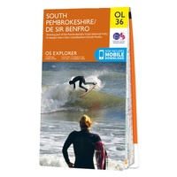 Wandelkaart - Topografische kaart OL36 OS Explorer Map South Pembrokeshire | Ordnance Survey
Met zijn 4cm voor 1 km (2 ½ cm voor 1 mijl) schaal, is de OS Outdoor Leisure kaartenserie de ideale en meest gedetailleerde kaartenreeks voor mensen die graag outdoor-activiteiten …
★★★★★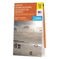 Wandelkaart - Topografische kaart OL35 OS Explorer Map North Pembrokeshire | Ordnance Survey
Een van de beste detailkaarten die er op de wereld gemaakt worden: zeer gedetailleerd, prachtig helder kleurgebruik, veel topografische aspecten en - zeer belangrijk - allerlei toeristische en recreatieve aspecten …
★★★★★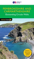 Wandelgids 034 Pathfinder Guides Pembrokeshire & Carmarthenshire | Ordnance Survey
Wandelgids van een deel van Wales. Deze gids bevat 28 dagwandelingen, variërend van korte tochten tot pittige dagtochten. De bijbehorende kaarten zijn uitstekend: men heeft de topografische kaarten van Ordnance …
★★★★★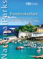 Wandelgids National Parks: Pembrokeshire | Northern Eye Books
This superbly-written and good looking book will take you on ten short circular walks to the very best stretches of coast, pubs, tea shops, and viewpoints that the beautiful Pembrokeshire …
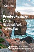 Wegenkaart - landkaart National Park Pocket Map Pembrokeshire Coast | Collins
Duidelijke pocket wandelkaart met belangrijke toeristische informatie, bezienswaardigheden, campeerplekken e.d. Handy little full colour map and guide of Pembrokeshire Coast National Park. Detailed mapping and visitor information to the National …
★★★★★ Wandelgids Park Rangers Favourite Walks Pembrokeshire Coast | Collins
The perfect companions for exploring the National Parks. Walking guide to the Pembrokeshire Coast National Park, with 20 best routes chosen by the park rangers. Each walk varies in length …
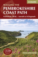 Wandelgids Walking the Pembrokeshire Coast Path | Cicerone
Engelstalige beschrijving van een mooie wandeltocht in Wales. De gids voldoet aan alle verwachtingen die je kunt hebben. Met apart gidsje met prima wandelkaarten. This guidebook describes the Pembrokeshire Coast …
★★★★★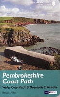 Wandelgids Pembrokeshire Coast Path Wales, St. Dogmaels to Amroth | Aurum Press
Beschrijving van de route langs de kust van Zuidwest Wales. Historische en culturele aspecten komen vrij uitgebreid aan bod, praktische informatie is wel summier. Kaartmateriaal zonder meer uitstekend! The Pembrokeshire …
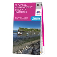 Wandelkaart - Topografische kaart 157 Landranger St David's & Haverfordwest | Ordnance Survey
Fantastische topografische kaart van vrijwel het gehele deel van de kust waar het Pembrokeshire coast path langs loopt. Zeer goede detailkaart met topografische ondergrond. Kleurgebruik is goed over nagedacht: bijzonder …
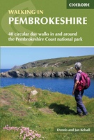 Wandelgids Walking in Pembrokeshire | Cicerone
Uitstekende wandelgids van dit mooie gebied aan de kust van Wales: het Pembrokeshire Coast national park. Goed beschreven met veel praktische informatie om de route te kunnen lopen, inclusief redelijke …
 Reisgids ANWB Ontdek Wales | ANWB Media
Een nieuwe ANWB reisgids: deze titel is een vertaling van de Duitstalige Dumont reeks. Ze staan bekend als zeer degelijke en behoorlijk complete reisgisden in compact formaat. Met zowel veel …
★★★★★★★★★★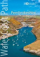 Wandelgids Pembrokeshire North - Wales | Northern Eye Books
Zeer handzaam boekje van een tiental rondwandelingen, met goede kaarten en beschrijving. Leuke toevoeging op de route of als je alleen maar naar die streek gaat en op zoek bent …
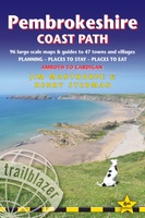 Wandelgids Pembrokeshire Coast Path | Trailblazer Guides
Goede wandelgids waarin met veel details alle etappes zijn beschreven. Tevens informatie over overnachtingen en openbaar vervoer. Practical guidebook to walking the Pembrokeshire Coast Path. The walk follows a National …
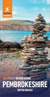 Reisgids British Breaks Pembrokeshire | Rough Guides
Discover the best of Pembrokeshire with this compact, practical, entertaining Pocket Rough Guide. This slim, trim treasure trove of trustworthy travel information is ideal for travellers on short trips, and …
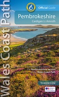 Wandelgids Wales Coast Path: Pembrokeshire | Northern Eye Books
Official Guide: Wales Coast Path: Pembrokeshire One of seven Official Guides to the Wales Coast Path The 186 mile/300km long Pembrokeshire section of the Wales Coast Path runs …
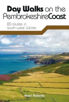 Wandelgids Day Walks on the Pembrokeshire Coast | Vertebrate Publishing
Day Walks on the Pembrokeshire Coast features 20 classic coastal routes between 6.5 miles and 13 miles (10.4km and 20.8km) in length, suitable for hillwalkers of all abilities. Local author …
 Wandelatlas Adventure Atlas Pembrokeshire Coast Path | A-Z Map Company
The A-Z Adventure Series of maps is the perfect companion for walkers, off-road cyclists, and anyone wishing to explore the great outdoors. The Pembrokeshire Coast Path is a 186 …
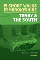 Wandelgids 15 Short Walks in Pembrokeshire: Tenby and the South | Cicerone
Dennis and Jan Kelsall have chosen 15 of the best short walks around Tenby and south Pembrokeshire for you to explore. Our guide comes with easy-to-read Ordnance Survey maps and …
Laatste reviews

Heb de gids cadeau gedaan en die persoon was er heel blij mee ..
★★★★★ door J 21 november 2024 | Heeft dit artikel gekocht
De kaart van Kirgystan is prachtig, zeer gedetailleerd. Kan niet wachten tot de we echt op reis hmgaan die kant op.
★★★★★ door Marijke Eering 21 november 2024 | Heeft dit artikel gekocht
Super handig fiets boekje en mooi water bestendig. En handig om op de kaarten te kijken heel duidelijk beschrijving. Wij fietsen al jaren in Duitsland …
★★★★★ door Jenneke holterman 19 november 2024 | Heeft dit artikel gekocht
prima kaart levering en betaling allemaal vlot verlopen
★★★★★ door Marc Buts 19 november 2024 | Heeft dit artikel gekocht


