
Kaarten - Engeland
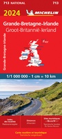 Wegenkaart - landkaart 713 Groot-Brittannië & Ierland 2024 Great Britain | Michelin
Zoals je van Michelin mag verwachten is deze kaart zeer overzichtelijk en heeft een duidelijk helder kaartbeeld. De kaart geeft uitgebreid toeristische informatie weer. Met stadsplattegrond van de hoofdstad. This …
★★★★★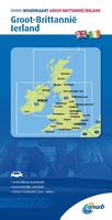 Wegenkaart - landkaart Groot-Brittanië en Ierland | ANWB Media
De ANWB heeft een grote serie wegenkaarten van de belangrijkste landen en streken. Het zijn echte overzichtskaarten van vaak een wat groter gebied. Deze keuze zorgt er voor dat de …
★★★★★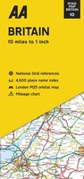 Wegenkaart - landkaart 10 Road Map Britain Britain - Groot Brittannië | AA Publishing
Goede dubbelzijdige overzichtskaart met plaatsnamenregister van heel Engeland met Schotland erbij. Each map includes information on toll points, service areas, road numbers, motorways, dual carriageways and wide and narrow local …
★★★★★★★★★★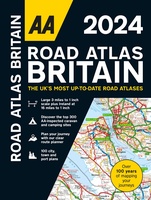 Wegenatlas Road Atlas Britain 2024 - A4 | AA Publishing
Wegenatlas, met spiraal, van Groot-Brittannie, Engeland, Wales en Schotland, met toeristische informatie This top-selling road atlas showcases Britain’s clearest mapping from the experts from the AA. Each page has been …
★★★★★ Fietskaart The Ultimate UK Cycle Route Planner | Excellent Books
Fully updated and revised 4th edition for 2022 with an increased sheet size. One of the best selling UK cycle publications giving an overview of all the main signed UK …
★★★★★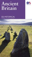 Wegenkaart - landkaart Ancient Britain | Ordnance Survey
The Ordnance Survey Ancient Britain map is a comprehensive guide to the most important archaeological sites of early English, Welsh and Scottish history. Ordnance Survey's Ancient Britain map shows Neolithic, …
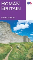 Wegenkaart - landkaart Roman Britain | Ordnance Survey
An informative map showing the location of the most important ancient monuments of Roman Britain. The map has been produced by Ordnance Survey in collaboration with the Ancient Monument Trusts …
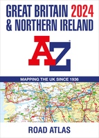 Wegenatlas Great Britain and Northern Ireland Road Atlas 2024 | A-Z Map Company
A full-colour, paperback road atlas of Great Britain, now fully revised and updated. Clear detailed road mapping at a scale of 3.5 miles to 1 inch. Presented in a large, …
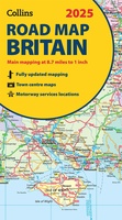 Wegenkaart - landkaart Road Map of Britain 2025 | Collins
Full-colour, double-sided road map of Great Britain at a scale of 8.7 miles to 1 inch. Northern England, Scotland and the Isle of Man are on one side with Southern …
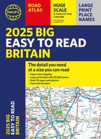 Wegenatlas Philip's Easy to Read Road Atlas of Britain 2025 | A3-Formaat | Paperback | Philip's Maps
With the detail you need at a size you can read, the latest edition of 2025 Philip's Big Easy to Read Road Atlas of Britain is super-clear, super-sized and bang …
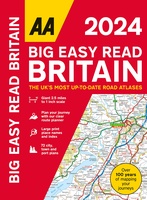 Wegenatlas Big Easy Read Britain 2024 | A3 | Ringband | AA Publishing
AA Publishing brings you the UK’s most up-to-date road atlases Over 100 years of mapping your journeys • Giant scale mapping at 2.5 miles to 1 inch = 1:25,000 • …
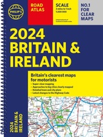 Wegenatlas Road Atlas Britain and Ireland 2024 | Philip's Maps
PHILIP'S - Market leaders and No. 1 in the UK for clear maps'Good balance between detail and clarity with excellent town maps' What Car? * Super-clear mapping at a scale …
★★★★★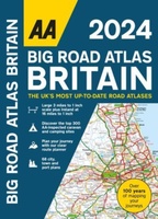 Wegenatlas Big Road Atlas Britain 2024 - A3 | Ringband | AA Publishing
This best-selling A3 format atlas is available two binding styles; softback and spiral bound. Each page has been titled with its geographical location so you can turn to the page …
★★★★★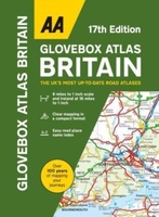 Wegenatlas AA Glovebox Atlas Britain | AA Publishing
This handy atlas fits in the glovebox of your car, perfect for quick referencing on the move. The clear mapping includes a range of essential motoring and useful touring information …
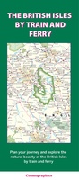 Spoorwegenkaart The British Isles by Train and Ferry | Cosmographics
Plan your journey and explore the British Isles by train and ferry. This attractive, detailed map shows how the rail network, along with ferries to the more isolated areas, allows …
 Wegenkaart - landkaart South Georgia Explorer – Zuid-Georgië | Ocean Explorer Maps
Overzichtskaart van Zuid-Georgië en de Zuidelijke Sandwich Eilanden. - Met geillustreerde biografieën van ondekkers en andere notabelen. - Historische tijdslijn - Kleuren foto's en wildlife - Details van veel bezienswaardigheden …
★★★★★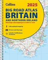 Wegenatlas Big Road Atlas Britain and Northern Ireland 2025 | A3 | Ringband | Collins
Grote wegenatlas, a3-formaat in ringband. The ultimate 3.2 miles to 1 inch scale large-format, spiral-bound road atlas of Britain, featuring Collins’ popular and well established road mapping, and designed for …
 Wegenkaart - landkaart Groot Brittannie en Noord Ierland | Reise Know-How Verlag
Tweetalige kaart (Engels en Duits). Door ingetekende lengte- en breedtegraden is het gebruik van GPS mogelijk. Met hoogtelijnen en uitgebreid wegennetwerk: daarnaast worden ook de afstanden tussen belangrijke plaatsen duidelijk …
 Wegenkaart - landkaart England & Wales - Engeland | ITMB
Een degelijke kaart met aanduidingen van o.a. nationale parken, vliegveld, benzinepompen. ITMB publishes a map of Great Britain, but each portion of GB needs its own map to show roads …
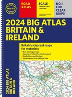 Wegenatlas Big Atlas Britain & Ireland 2023 A3-Formaat | Philip's Maps
Goede gedetailleerde wegenatlas van Groot-Brittannië, schaal 1:200.000 met een overzichtskaart van Ierland, schaal 1:1.000.000. Groot formaat, A3, en in ringband. Philip's is No. 1 in the UK for clear maps …
★★★★★
Laatste reviews

Duidelijke kaart, ook met kleinere wegen. Snelle levering
★★★★★ door Ger Sulkers 02 mei 2024 | Heeft dit artikel gekocht
Ja wij zijn tevreden, alleen is mijn vriendin het boekje al kwijtgeraakt bij onze eerste wandeling.🙁
★★★★★ door Mark 02 mei 2024 | Heeft dit artikel gekocht
Ja ik ben dik tevreden over de wegenkaart van Kazachstan. Stond alles op wat ik wou dus heel erg tevreden daarover.
★★★★★ door Sjoerd Westra 02 mei 2024 | Heeft dit artikel gekocht
Zoals altijd mooie verzorgde kaarten die tijdens de reis van pas komen en achteraf mooie herinneringen oproepen.
★★★★★ door Klaas Wijnberg 02 mei 2024 | Heeft dit artikel gekocht