Wandelkaarten - Afrika
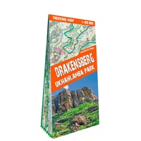 Wandelkaart Trekking map Drakensbergen - Zuid Afrika | TerraQuest
Geplastificeerde trekking-kaart. Relatief zeer gedetailleerd. Het Ukhahlamba Park ligt op de grens van Zuid-Afrika en Lesotho met de hoogste berg en het meest interessante gebied van de Draak. Met wandelroutes, …
 Wandelkaart 4410MT Mamoudzou / Petite-Terre / Mayotte | IGN - Institut Géographique National
 Wandelkaart 4411MT Sada / Mlima Bénara / Mlima Choungui / Mayotte | IGN - Institut Géographique National
 Wandelkaart - Wegenkaart - landkaart Trekking map High Atlas Morocco | TerraQuest★★★★★
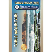 Wandelkaart South Africa: Table Mountain | Slingsby Maps
This highly detailed map shows all approved paths on the mountain and includes full GPS information. The map shows the Hoerikwaggo and the Peoples Trail, and covers the area from …
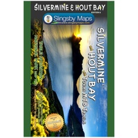 Wandelkaart South Africa: Silvermine & Hout Bay | Slingsby Maps
The map also includes: The Constantia Winelands All sections of the Hoerikwaggo Trail are shown All approved paths, with detailed DDMMSS GPS coordinates for major junctions, are clearly marked …
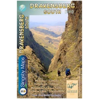 Wandelkaart 5&6 South Africa: Drakensberg South | Slingsby Maps
This double-sided map is the third of three maps in the latest edition of our famous “Slingsby” Drakensberg map series. Side One covers the area from Lotheni southwards through Vergelegen …
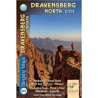 Wandelkaart 1&2 South Africa: Drakensberg North | Slingsby Maps
DRAKENSBERG NORTH: This double‑sided A1-sized map is the first of three maps in the latest edition of our famous “Slingsby” Drakensberg map series. Side One covers the area from Mpokelana …
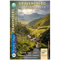 Wandelkaart 3&4 South Africa: Drakensberg Central | Slingsby Maps
DRAKENSBERG CENTRAL: This double‑sided A1-sized map is the second of three maps in the latest edition of our famous “Slingsby” Drakensberg map series. Side One covers the area from Injesuthi …
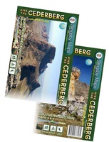 Wandelkaart South Africa: Hike the Cederberg | Slingsby Maps
HIKE THE CEDERBERG: There are two double-sided A1-sized maps in the set (i.e., four maps in all), covering the entire Cederberg Wilderness and extending north to Wolfdrif and south …
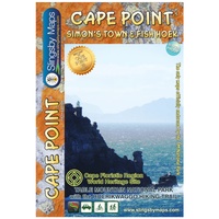 Wandelkaart South Africa: Cape Point and Simon’s Town & Fish Hoek | Slingsby Maps
This is map three in our three-map series of Table Mountain National Park. Waterproof and tear resistant in plastic sleeve. This brand new, fully redrawn and highly detailed map …
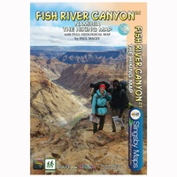 Wandelkaart Namibia: Fish River Canyon | Slingsby Maps
This double-sided A1-sized map covers the entire iconic Fish River Canyon hike; and on the reverse the complete and fascinating geological map of the oldest canyon on Planet Earth matches …
Laatste reviews

Kan de huidige ontstuimige ontwikkelingen wereldwijd, nu ook geografisch plaatsen en daarmee beter volgen.
★★★★★ door Leo Janssen 20 december 2024 | Heeft dit artikel gekocht
We hadden Piëmonte al eens bezocht en voor onze komende reis werd ons door kennissen deze gids aanbevolen. Inderdaad is dit een heel goede gids. …
★★★★★ door DWKdB 19 december 2024 | Heeft dit artikel gekocht
Mijn bestellingen zijn altijd goed en worden altijd op tijd geleverd. Komen afspraken goed na. Erg tevreden.
★★★★★ door Ben Wegdam 19 december 2024 | Heeft dit artikel gekocht
Zeer gedetailleerde kaart van het zuidelijke deel van het douaniers pad
★★★★★ door Marian 18 december 2024 | Heeft dit artikel gekocht
